hop on the good foot

This blog is definitive. Reality is frequently inaccurate.


3 Comments

The Quilotoa Loop – 7 days of central Andean beauty

We’ve been away for a while now, dropped some weight, built up those leg muscles and have got a bit hairier (mainly me in that area) so we felt it time to get out into the Andes proper and try and tackle parts of the Quilotoa Loop.  The 200km circuit of Andean beauty starts via the busy little town of Latacunga that sits at 2800m, out west of the route’s namesake; The Quilotoa Crater Lake sitting pretty (cold) at 3900m.  An entire 200km round trip on foot is far too much, so we set out to spend around a week working our way round by bus, truck and most importantly by foot.

Quilotoa Loop Route

Quilotoa Loop Route

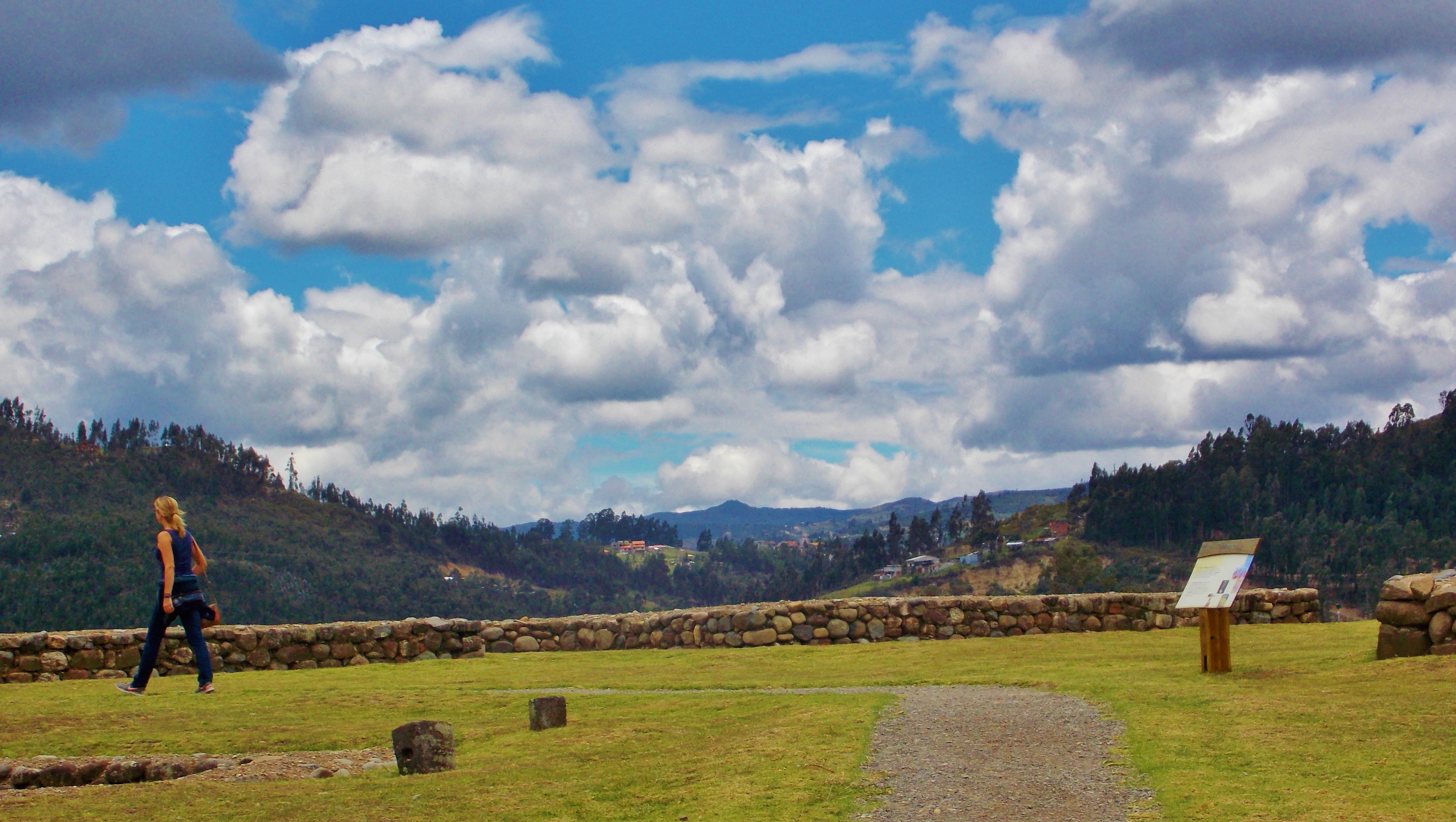
All specific details and maps for hikes are available at Hostal Tiana and Llu Llu Llama.

Day 1

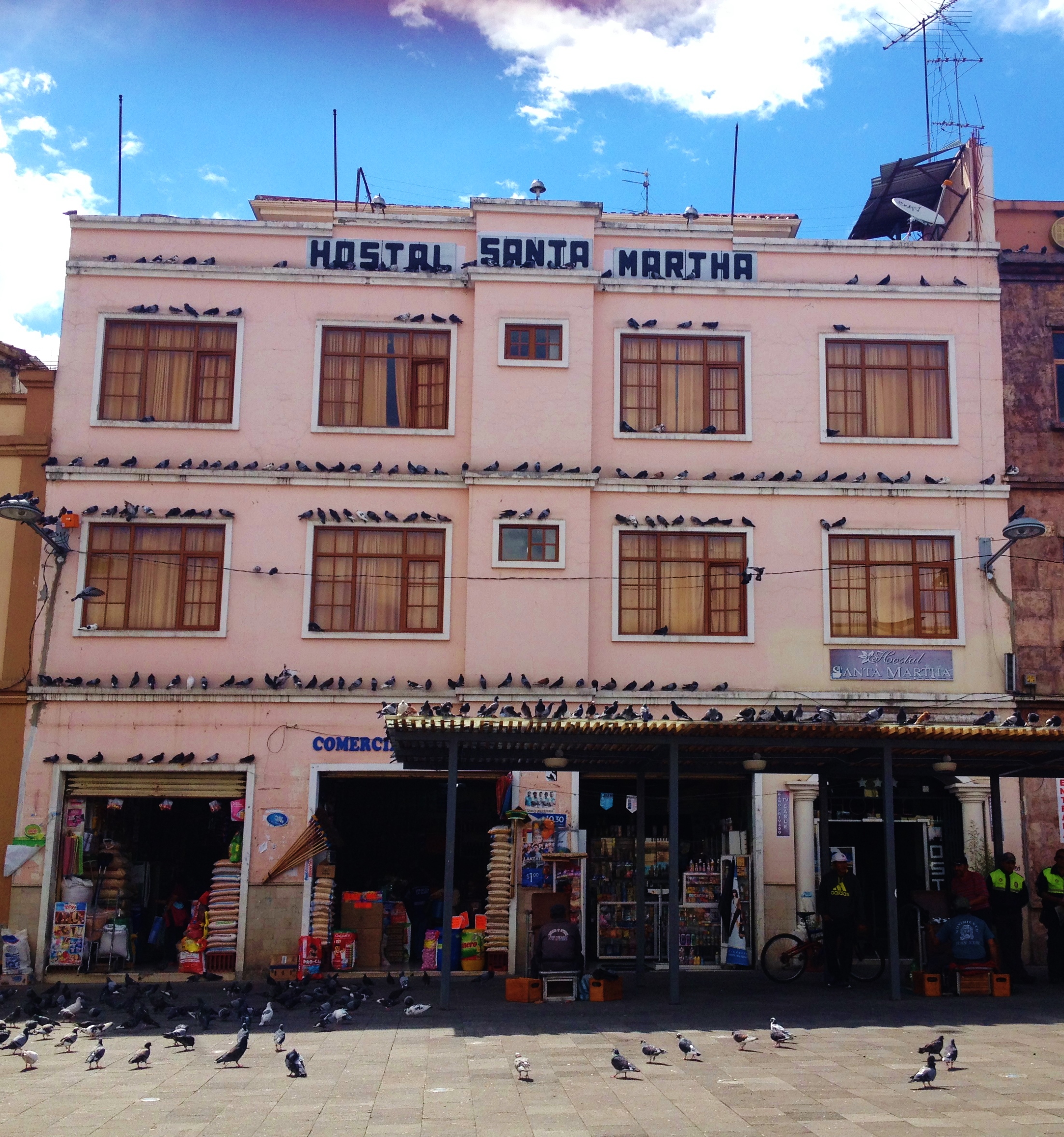
Quito to Latacunga:  Being the main jumping off point for the route we felt it sensible to head to Latacunga first and make a plan of attack.  After nearly throwing myself on the floor in a full-blown tantrum at the fact that I had to spend another hour of my life on the Quito Trole system to the bus station from Old town, we found a quick little bus that got us there in around 2 hours.  Latacunga at first glance can seem quite a grubby little commercial breeze block nightmare, but the further in you go, the more you can see its subtle colonial charms and handsome faded architecture.  We were told that Hostal Tiana is a nice spot with some helpful advice on how to tackle the route unaided and it did not disappoint.  Not a great deal else to do in the town but we did find a big supermarket to stock up on supplies, somewhere to buy a wooly hat with llamas on and lady who was selling steak, chorizo and plantain skewers at $1.50 a throw.  After devising an excellent packing strategy (for me, tying two bags together with shoelaces) we thought we were ready!

Day 2

Insinlivi

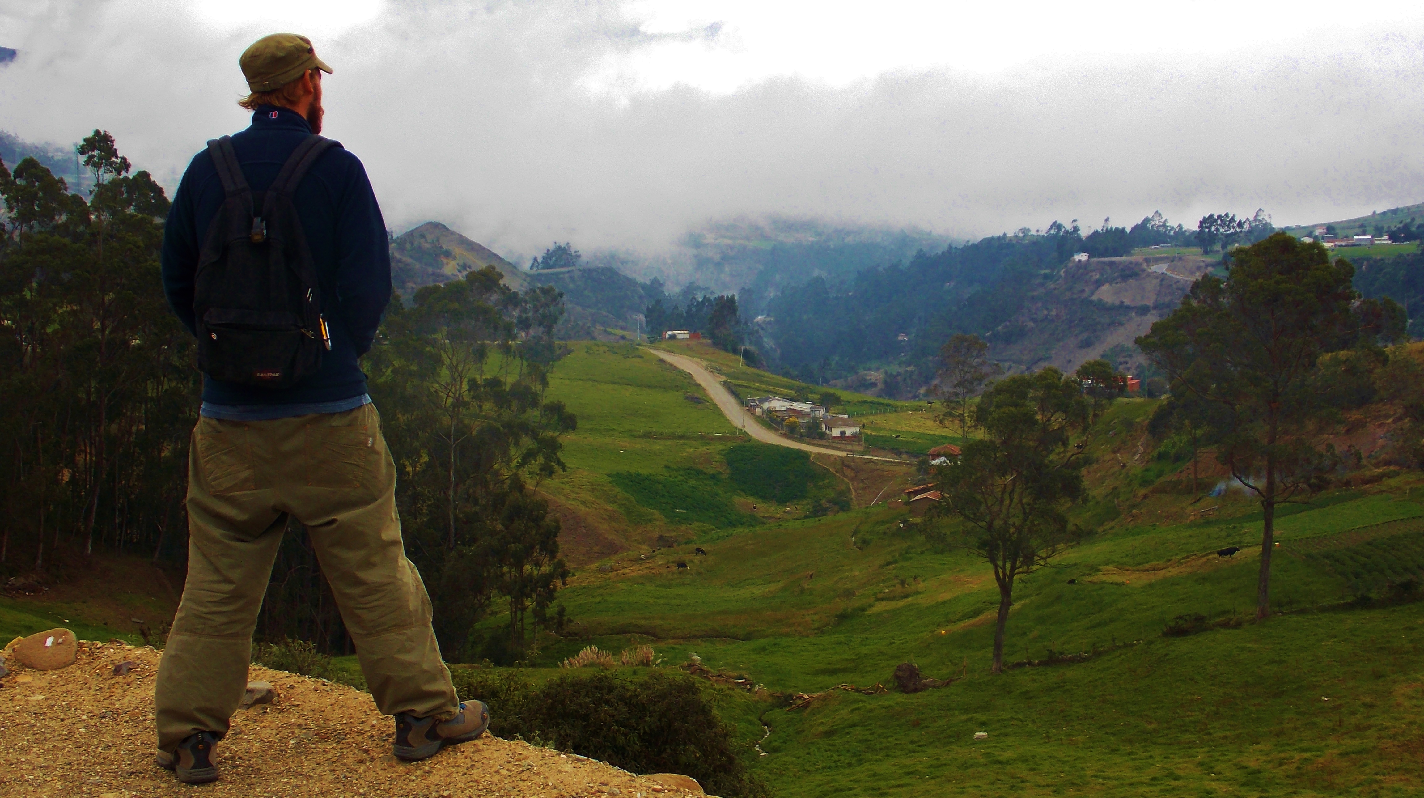
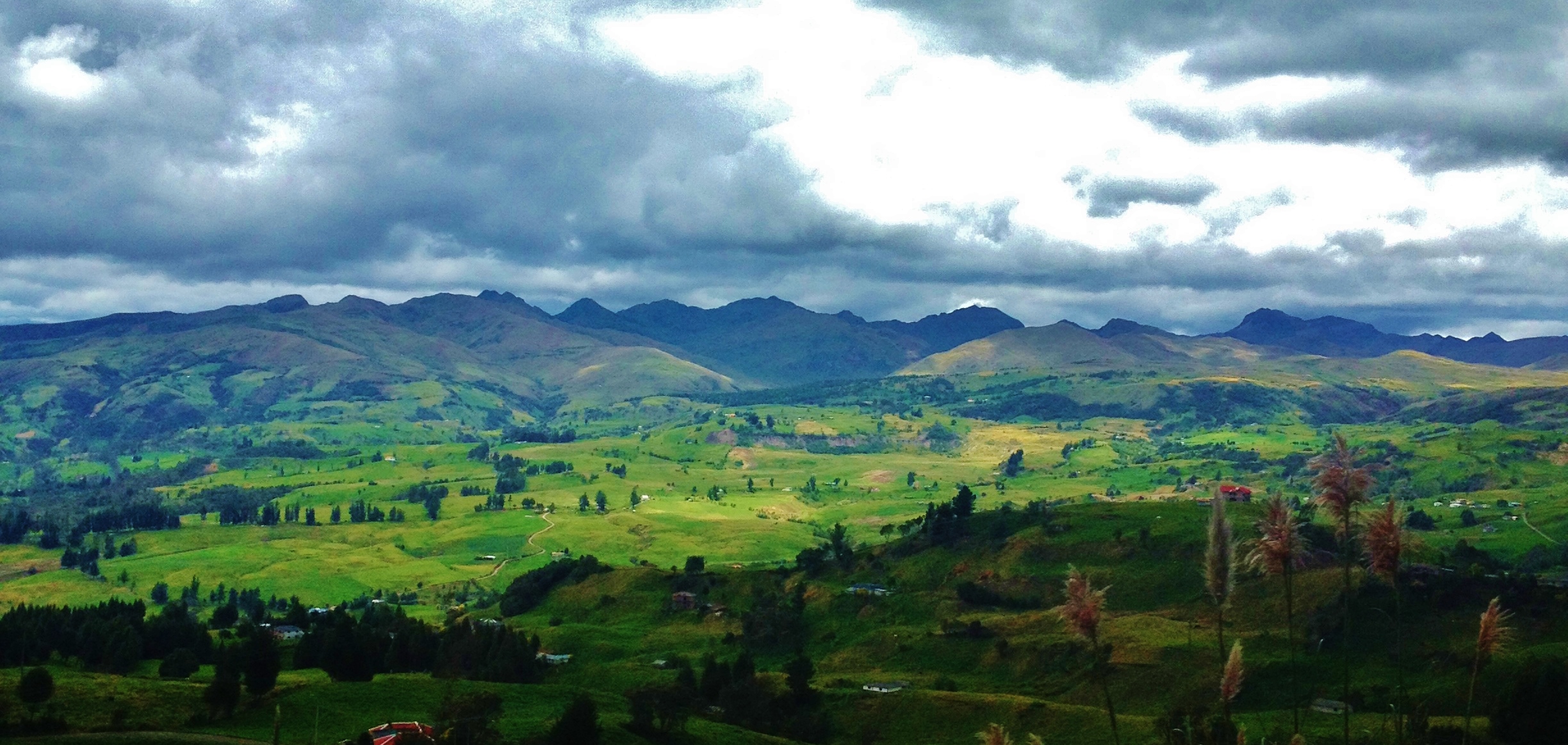
Latacunga to Insinliví:  We apparently want to be different so decided to head to the small town of Insinliví first and work our way round the loop anti-clockwise.  The bus from Latacunga to Insinliví left the main terminal at 12:15 (as it does daily) and took just shy of three hours to reach our destination.  A seat on the right hand side of the bus afforded us some stunning views; after the town of Sigchos passed us by as we began to wind our way through the clouds and treacherously muddy sheer drop paths. We have seen some impressive country on this trip, but nothing compares with the armfuls of natural beauty on offer here.  It was school run time so at Sigchos the bus filled up with kids in uniforms on their way home.  One thing I have noticed and continue to do so on this trip is that teenagers, wherever you are in the world are the same annoying specimens they are everywhere. London to NYC, San Salvador to Antigua and even here in the Andes, you will find a boisterous group of sods pumping tinny music out of their mobile phones.  The only difference is, these kids get off and hike up dirt trails to their homes in the hills of an evening.

Soon we arrived in the tiny town of Insinliví where a local kid directed us to the Llu Llu Llama hostal where we planned to stay for a couple of nights.  We immediately regretted coming here first as it was by far the nicest place we have stayed on our entire trip so far.  The ground floor is set around some comfy sofas with alpaca blankets and a fire place that gives off a generous amount of much needed warmth.  It is set on the edge of the town, giving stunning views over the canyon below.  After perusing their well complied list of hikes we decided on a quick one that loops up around the town just to test our lungs walking at 2900m.  It was soon dinner time and we tucked into a home cooked cottage pie with the two other guests and enjoy a glass of red.  This place is top draw and I can’t recommend it enough.

Day 3

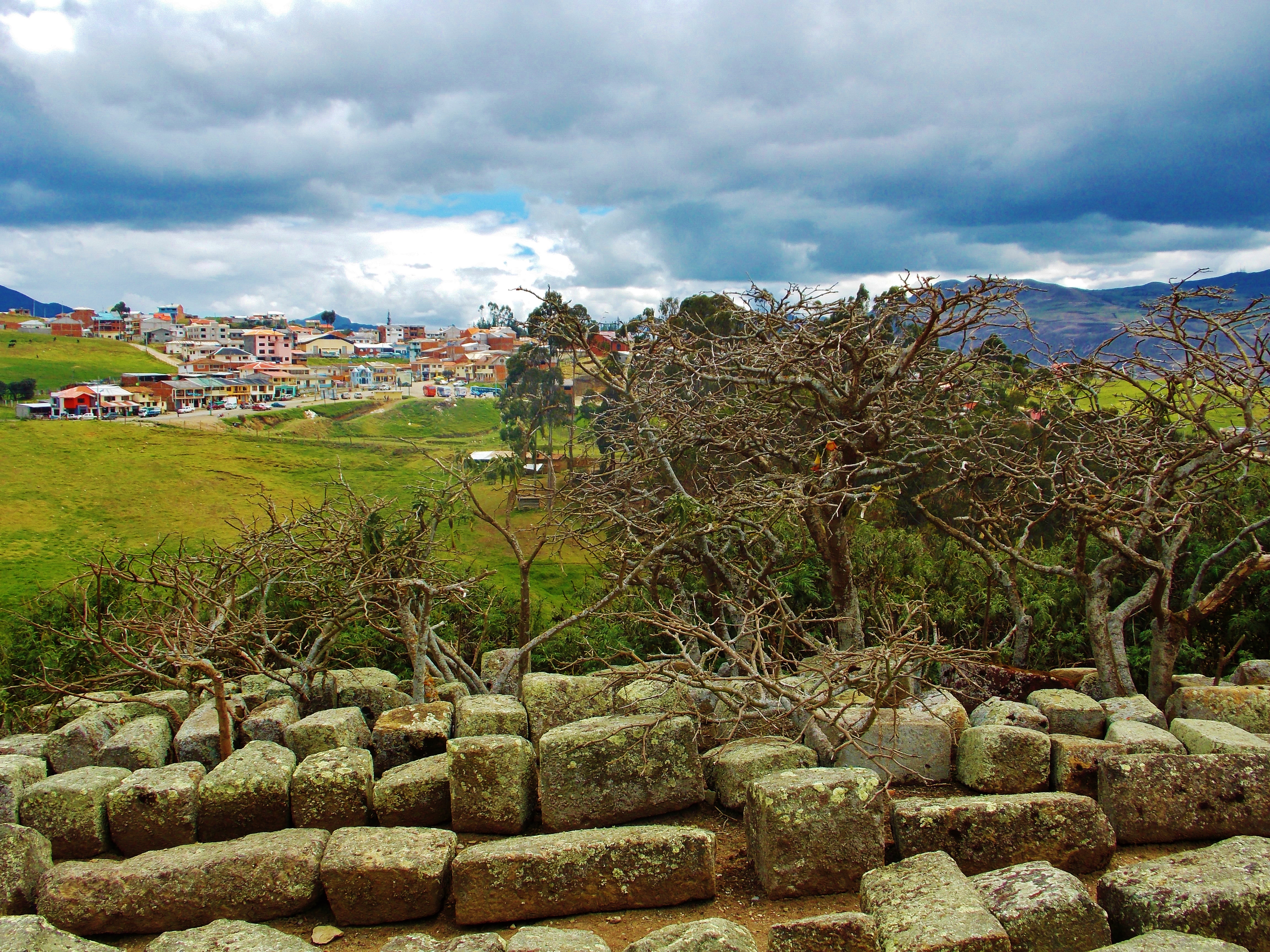
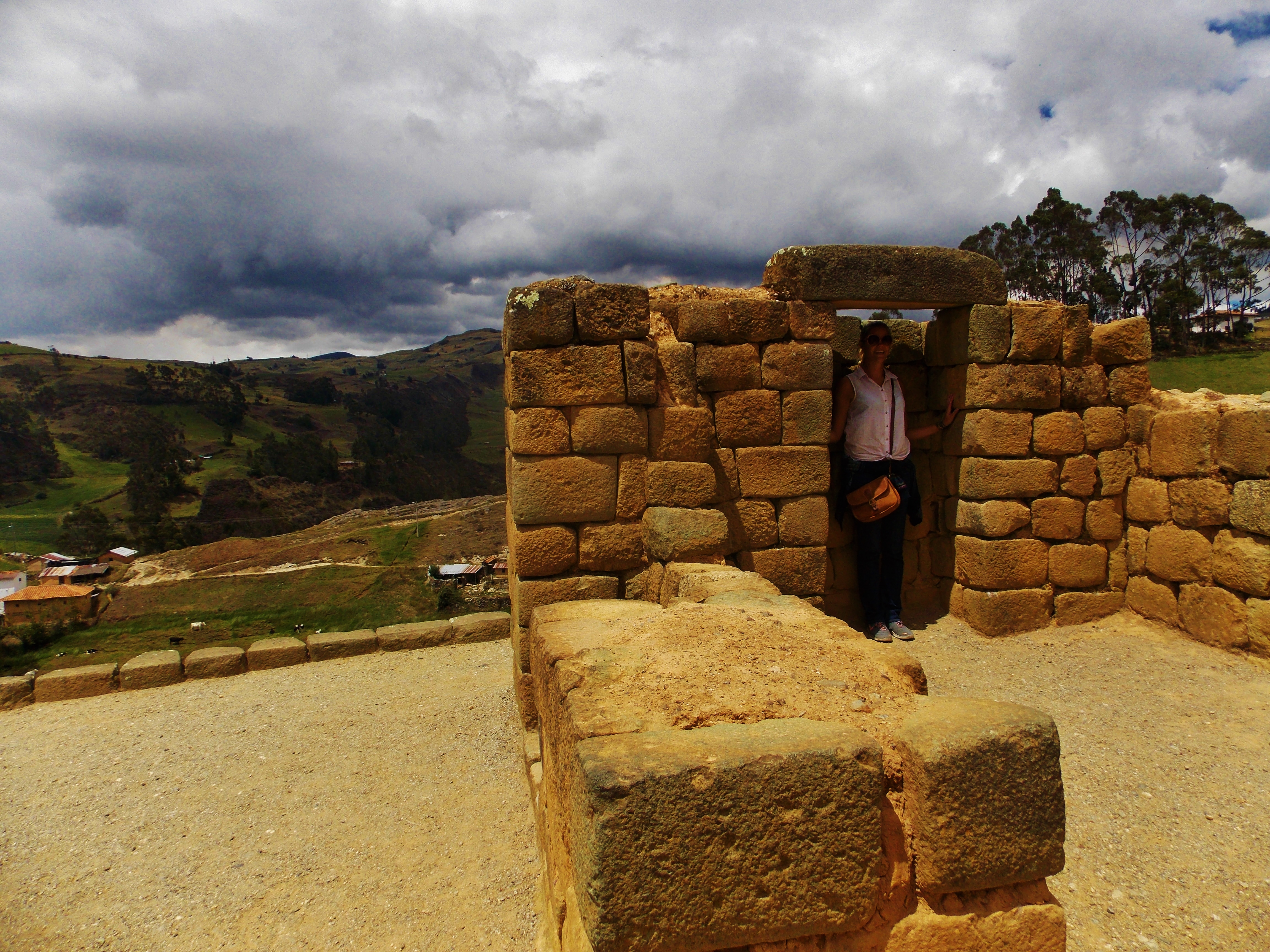
The Guantualo Loop Hike:  One of the many free hikes on offer from the Llama is the market trade route to the town of Guantualo from Insinliví.  The hike took us SW down into the valley below Insinliví, where we crossed the river Cumbujin and slowly made our way up the other side towards the tiny town of Guangamala.  The day was glorious with the sun’s intensity felt on our skin as we gazed into the blue sky and fluffy white clouds that top the green peaks around us.  We steadily headed for higher ground and kept climbing through meadows and up muddy trails until we got that ‘top of the world feeling.’  Soon the town of Guantualo was in site and we walked through, not expecting to see much as market day is on Mondays.  There is in fact, nothing going on here on a Saturday, and the only people we did see were sitting outside their house with a llama and plastic jugs of aguadiente.  They offered us ‘uno para el camino’ which we graciously accepted.

Up to the town of Guantualo

Up to the town of Guantualo

Shortly after the fire in our belly cooled we stopped for some coffee and biscuits (I know, so very British) before descending downhill and back in a NE direction towards the road and hill we ‘recognised’.  We lost the path quickly, but soon found it again with the help of a local farmer and we eventually got on the road back to Insinliví.  The weather changed in a flash, the clouds zoomed in over the hill tops and soon rain came.  Walking on a road uphill is never fun, even in these glorious surroundings.  I stuck my thumb out and we managed to hitch the last uphill struggle back to the town in a pickup truck just before the killer rain set in which didn’t relent until it was time for another one of Gladys’ delicious dinners and some time by the fire.  We were joined by the only other guest, Tara, and one half of the Ecuadorean/Dutch owner couple Cristian who was happy to tell us all about the area; including all about the Italian master craft apprentice style programme run here by Don Bosco in woodwork for locals and the Llama’s help within the community.

Day 4

Hike from Insinliví to Chugchilán:  With trusty maps (not the IGM ones, they were last updated 20 years ago, and due to the sheer amount of contour lines, it is impossible to tell what’s a path and what’s not) and directions courtesy of Llu Llu Llama we set off at 9am accompanied by two others.  Tara the other guest and a scrappy looking mutt we affectionately named Biscuit.  The weather was again pretty fine, which according to Cristian, is the standard.  Fine weather up until around 1pm, then the clouds roll in and with it the rain.  With this in mind, we realised that the proposed 6 hour hike was going to get a bit wet at the end.

A few more steps then

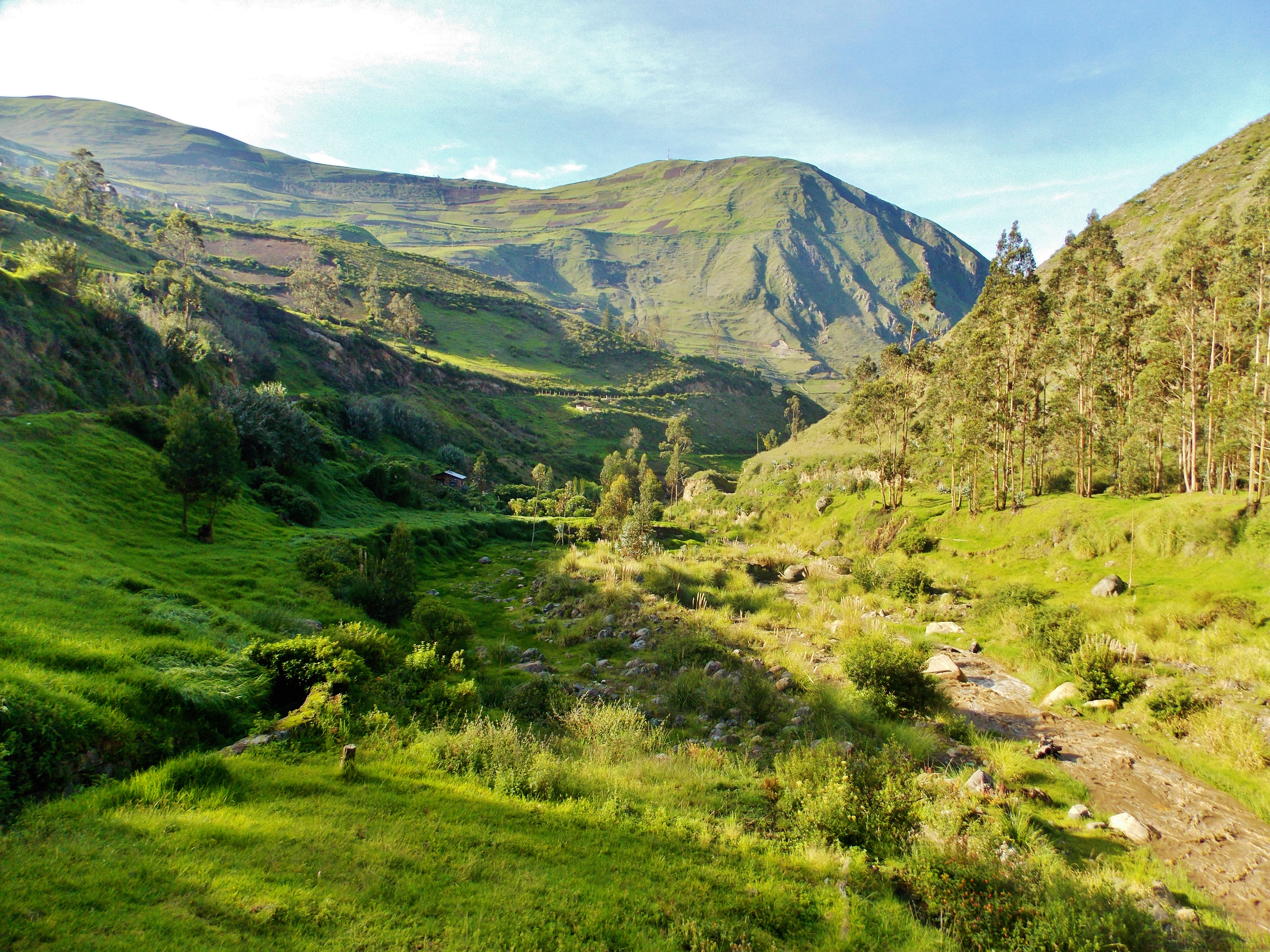
Heading down into the canyon again we veered SE round the other side after crossing the river.  After passing through a meadow we descended down through some deep muddy paths until coming out on a huge flat plain, overlooking one huge chunk of the surrounding sierra with a sheer cliff drop at the edge.  Carrying on we saw some handsome light coloured cliffs and a couple of fun looking caves as we continued down to the stony riverbed of the neighboring Toachi canyon.  This place is heart achingly gorgeous and it is hard to concentrate on the hike with all there is to see.  Wandering past the river bed, we passed the odd farmer and cow herder, until we eventually came to a clearing of eucalyptus trees.  Soon, a fun but sketchy-looking log bridge was in view that we knew we must cross so Ollie tentatively offered herself up first, followed by Tara and Biscuit.  Slightly further upstream at an even more fun suspension bridge we stopped for lunch courtesy of Tara who knocked up some peanut butter and honey sarnies that along with our coffee (Biscuit just ate the biscuits), gave us the boost we need as the rest of the walk was going to be uphill with bad weather.

Heading up the other side of the canyon we came across a small village called Itualo which was empty of people, but offered a quick rest stop before a 400m 15 switchback climb up the canyon.  I feel it’s important here to say that Tara was carrying full pack and only had two days of altitude under her belt.  Only slightly behind us on the way up, it was clear who is the fitter hiker!  We all took it slow, and panted for breath often, but soon were at the top and the look-out point at the town of Chinalo.  The weather continued to darken and spit at us, so we pushed on (after Biscuit got his biscuit of course)  slowly round the hills taking in some further jaw dropping views and seeking direction from a local. (apparently, Ollie can understand Kichwa now?)  As we found the road to Chugchilán it continued to climb as the rain set in heavy. With 5 hours under our belts we arrive at our lodgings at the Hostal Cloud Forest and celebrated with a well-earned beer.

Day 5

Sickbed and Cheese dreams:  I felt it coming and didn’t want to acknowledge it, but it hit me with a bang. Fever, hot sweats, cold sweats, sore throat, nausea, head ache and photosensitivity.  Not ideal when your 3200m up and planning on hiking.  I stayed in bed and listened to the dogs bark all day whilst Ollie set out on a hike with Tara to the local cheese factory.  Ollie would be writing this part, but unfortunately, the cheese factory closes at 11am and they got there at 11:20.  Those of you who know Ollie will know how devastated this made her.  It was a handsome walk she tells me and on returning while I lay in bed she and Tara tucked into a bottle of wine by the fire in the Hostal Cloud Forest games room.

Day 6

Pickup ride to Quilotoa

Pickup to Quilotoa/Hike down the crater lake:  Feeling much better, but not better enough to tackle the 7 hour hike to Quilotoa, which involves 1000m worth of ascent we all decided to take up the Cloud Forest hostal’s offer of a pickup ride to the town of Quilotoa for $5pp.  Along the route, we were stopped by construction work in the form of diggers and earth movers carving out the road ahead of us.  When I say road, you must understand that it is a dirt path.  When the road ahead was clear (relatively of course), we continued on through some more impressive endless scenery and past further road works (they appear to be paving it!) until we reached the small town of Quilotoa.  First order of business was finding a room, which we do at Hosteria Alpaca (don’t book online or pay the $25pp they ask, bargain!) on the outskirts of town. Second order of business being to check out this crater lake.

The first sight of it was stunning.  Even though there was no sun (and felt like there never would be!) there are few clouds and the whole crater is clearly visible.  We’ve seen crater lakes before but nothing compares to this.  Even a photo needs perspective so here’s some dimensions.  It’s 3km wide, 250m deep (although locals believe its bottomless), 3915m high at its highest point and to hike around the rim is 10km in distance.

The Quilotoa Crater Lake

The Quilotoa Crater Lake

We opted for the hike down to the lake’s edge which involved half an hour of steep descent.  As soon as we got down there, the clouds started creeping in, but we had time for a cup of tea at the small hostal there.  Refusing the horses we hiked back up in the pouring rain which took an hour and not quite as bad as it could have been.  Still pretty tough though at that altitude!

At the lakes edge in Quilotoa

At the lakes edge in Quilotoa

It’s real cold there.  The wind is harsh and the air damp.  I had a fever still, and couldn’t shake the chill in my bones so we headed for some food in the town.  Dreaming of some steamy soup and fire place all I got was constant disappointment with nothing on offer anywhere.

Quilotoa is a strange little town and I wouldn’t recommend anyone stay there longer than one night. It seems as if plenty of money has been thrown at development as there is no shortage of places to stay, and the new shiny buildings, car park and visitor centre (I imagine what that is what was meant to be, but it is just full of tourist tat for sale) are all branded with Ecuador tourism logo’s, but none of the places are actually catering for hikers and are run by locals who don’t seem to want you there or care about their businesses.  I’m all for local run places and by no means am I looking for a Big Mac up there, but I don’t understand why they bother spending big money and then letting it be run poorly.  They are on the ball everywhere else in the country, but here we didn’t even pay our $2 fee, didn’t know who to pay it to!  We felt like we were the only people staying in our hostel as we didn’t see anyone else there and barely another soul in town, but when the dinner bell rang, out came 20 shivering and ravenous gringos who had obviously been hiding under the covers until dinner time. If only someone sold a little mulled wine by an all day fire, they would make a killing!  Business idea…

Day 7

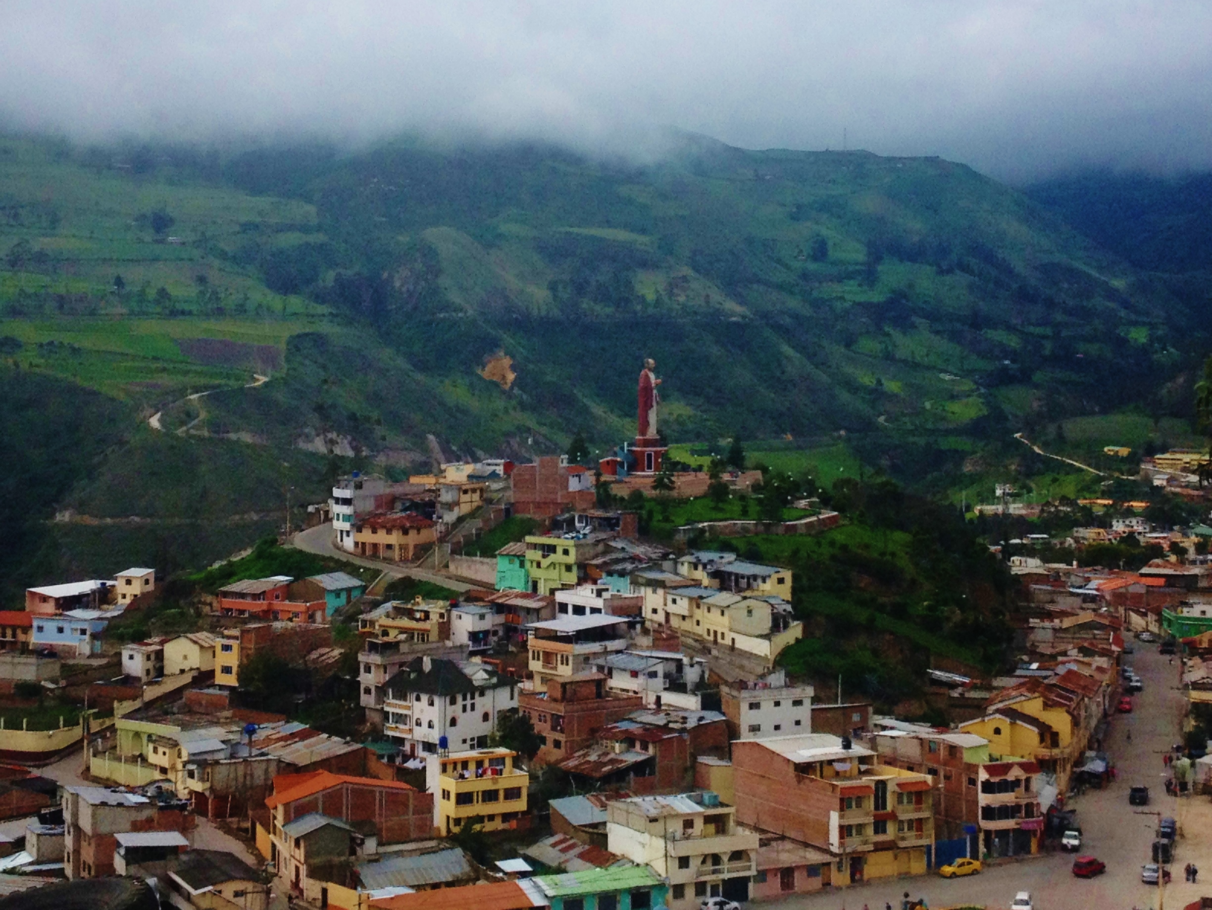
Back to Latacunga and some warmth:  After a night of feverish sleep by a fire stove we decided to head back to Latacunga.  We just couldn’t get the cold out of us and were pretty knackered anyway so after a quick breakfast we grabbed a pick up truck headed to Zumbahua ($5pp), where we then got another truck back to Latacunga ($3.50pp) .  The final views were still as incredible as our first ones a week before and before we know it, we were back on the streets of Latacunga and at Hostal Tiana again.  Since we had spent the week eating various variations of chicken rice and potatoes we decided to head for pizza in town before an early night.

You know those times when your Llama just wont leave his pig at home. #AndesProblems

You know those times when your Llama just wont leave his pig at home. #AndesProblems

The natural beauty here on the Quilotoa Loop is absolutely jaw dropping and is a must do for anyone visiting Ecuador.  I am genuinely sad that I didn’t get to see more of it now we’ve left and if we ever do return to South America, you can be sure we are heading into the Andes again.  For a country we didn’t plan on visiting in the first place and weren’t too keen on in the beginning it has certainly been a major contributing factor in our new found love for Ecuador.  Anyone planning on doing the loop should start in Quilotoa than finish in Insinliví.  The reasons being that you descend in altitude, the temperature gets steadily warmer and the accommodation gets more ‘accommodating’ the more knackered you get!

Advertisement


Leave a comment

Baños – Some fresh air and sunshine in the Central Highlands

Banos bus fun
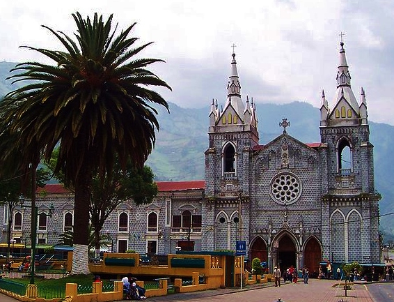
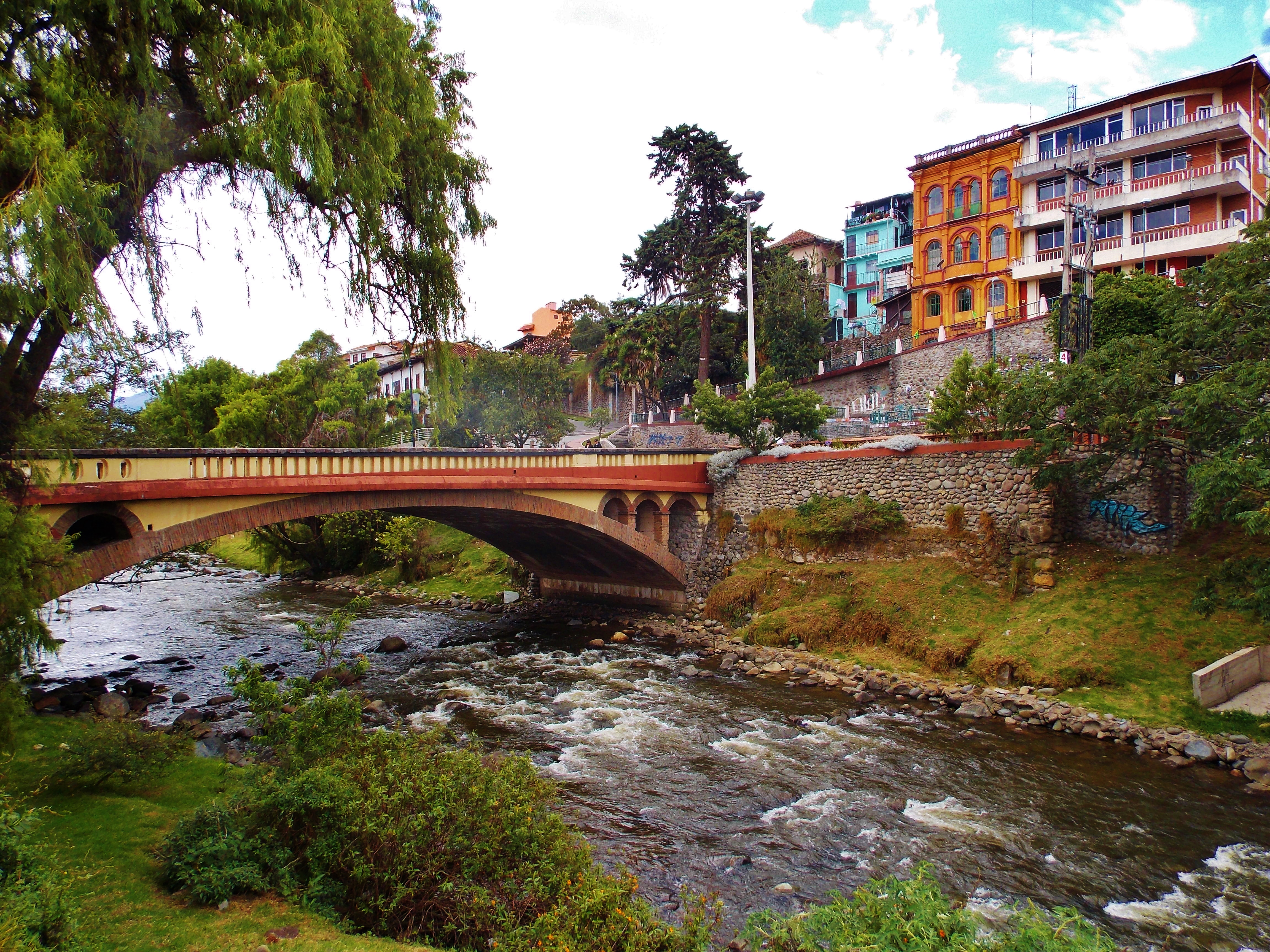
Slowly moving our way back North up the Andes towards Quito we decided to spend a couple of days in the popular town of Baños (de Agua Santa) to see what all the fuss is about.  Leaving from Alausí we took a bus to Riobamba, then another to Ambato, where we then tracked down another bus taking us on to Baños itself. A note on Ecuadorean buses if I may.  They are pretty comfortable and cheap, and when out of the city centre have a relatively good seat-to-person ratio going on.  But my god, every bus, and I mean EVERY bus, the ONE person who doesn’t have a seat, perches themselves next to me.  There is a whole aisle-worth of people’s personal space to encroach upon, but oh no, “let’s go and wake up that güero who has just tried to get to sleep for three hours by sitting on his arm rest and trying to share the head rest.”  I swear I went through an entire bus journey the other day where the elderly female passenger behind me felt the need to claim ownership of my headrest by putting her hand where my head wasn’t.  Obviously when I decided to move my head on the odd occasion, this became an irritation and the need for some angry stares from both of us. She had those scary eye’s, so I put up with some hair stroking for a couple of hours in the end.

Baños Cathedral

Baños Cathedral

Baños is the place to go if you like the idea of lying around in naturally heated thermal pools, mountain biking, rafting and various other outdoor activities.  It is set at 1800m and in the presence of the ominously near, yet hard to spot Volcan Tungurahua.  It last erupted in February this year!  The town itself is not a colonial gem by any means, but it is pleasant enough and has a couple of green squares (maybe one’s a park, I’m not sure) with a varying selection of restaurants catering to both locals and tourists.  Anywhere you find a micro-brewery; you know you’re going to find plenty of gringos.  Hostal Timara, owned and run by an Ecuadorean family that includes a Brit by marriage, was a great place to stay, for $7 a night each with hot showers, comfy beds and good kitchen.  We look for nothing much more these days…but the addition of a nice British chat about things such as the weather was just the tonic.

Taxo fruit - Pretty weird looking, but quite tasty in a passion fruit kinda' way

Taxo fruit – Pretty weird looking, but quite tasty in a passion fruit kinda’ way

What we really wanted to do there was to get out and hike the hills around the town as we were feeling a bit twitchy after being cooped up for a week.  Luckily, the weather was fine and the walking was free so up into the hills we went for the day.  One block south of the hostal entrance the path lead out of town and into a steep 45 minute climb towards the easterly look-out point of the ‘Bellavista Cross’, which gives you some stunning views of the town and the surrounding hills.  Only a short walk out and it suddenly feels like you are miles away!  Heading uphill but in a westerly direction we headed for the small town of Runtún, which took us along a variety of paths from empty roads to overgrown canopy covered muddy paths.  Arriving at Runtún, we found little there apart from a pack of aggressively vociferous dogs that succeeded in chasing us out.  We realised quickly that we didn’t know where we were or where we were going, but soon came across a local farmer who gave us directions and a strange juicy fruit called a babaco for the road (tastes a bit like tropical squash drink really).  Back on track, we wound round the hills of Baños in a westerly direction until we came to the holy (and pretty knackered looking) statue of ‘The Virgin’, which has some more choice views of the town.  A spot of lunch up top saw us right and we made the descent down the flight of 600-odd concrete steps to town below.

At the western edge of the town, we find the cemetery and decide to have a respectful mooch around before hitting the beers.  As you walk in, you are surrounded by rows of mausoleums, some full, some not, some grand, some humble, but all side by side and decorated in personal styles.  There are larger apartment like blocks for various working unions as well as family units. It’s clearly a close-knit place as the majority of (former?) inhabitants seem to be named Guevara. Individuality and freedom of design (to a certain extent) is clearly allowed here, with some interesting structures on show.

What is one thing that all travelers should do on a visit to Baños?  Visit the thermal pools of course!  We did not though.  Mainly because we were there at the weekend, and on attempting to visit on a Saturday afternoon found them heaving with Ecuadoran families.  The places were literally bursting at the seams with half-cut adults and excited children.  Not the relaxing spa experience I envisioned.  The next day, it rained, so we skipped it.  There will be other pools along the way I’m sure!

Sugar cane toffee called Melcocha is for sale at every turn in town in Banos

Sugar cane toffee called Melcocha is for sale at every turn in town in Banos

It would have been nice to stay longer and mountain bike down to Puyo but we had to head back to Quito for a medical appointment.  Nothing serious, just some physicals for visa purposes for one the countries on our hit list.  We stayed in the Old town area around San Blas again, but this time in ‘Colonial House’ which I would recommend over our previous choice.  It’s cheaper, comfier and quieter at night, with a kitchen!

Back in Quito!

Back in Quito!

What we did take advantage of while we were back in the big city, was to visit the IGM offices (Instituto Geográfico Militar) where you can get printed maps of any area of the country for about $3.50 each. Of course, if you want access to any sensitive areas, you may be asked some questions by the nice teenagers with automatic weapons and camouflage, but for our purposes, we got a couple for the Quilotoa Loop no probs.  (Les, couldn’t help think that this is somewhere you would have loved!)  After being given a clean bill of health by Dr Sosa and his radiologist sidekick we celebrated the only way we know how these days, with pizza and wine. 

Next stop, further south again…to tackle the Quilotoa Loop for a week.


2 Comments

Cuenca and Alausí – A week in the city of churches, the Inca ruins of Ingapirca and a ride down the Devils nose.

The banks of the river Tomebamba in Cuenca

The banks of the river Tomebamba in Cuenca

Cuenca was the next stop for us, which is 10 hours south of Quito down the Andes in Azuay province.  It sits pretty high still, at about 2530m and is a UNESCO world heritage site due to its well preserved colonial architecture, handsome plazas, pre Colombian ruins and endless supply of churches.  To get there, we took the worst night bus ride ever courtesy of Panamericana, leaving at 10pm from Quito’s new town.  We knew it was a bad omen when, at midnight, we all got booted off the bus at the side of an anonymous stretch of the highway and were told to wait for another bus…for no reason.  Then, when we got on, the remaining eight hours were sleepless and uncomfortable due to the driver tazzing it down the Andes at breakneck speeds.  Hard to stay in your chair, let alone sleep.

Calle Larga

Calle Larga

The Cathedral of the Immaculate Conception

The Cathedral of the Immaculate Conception

We stayed in Cuenca for a whole week.  This was not the plan but there were a combination of things that kept us there.  Firstly, we both felt unwell.  Ollie more than I, but we ended up spending a couple of days in bed.  I reckon this was our bodies still adjusting to the altitude, nothing life threatening.  The rest of the days we were waiting out the unpredictable weather, so we could go hiking in the Cajas National park.  We have since learned that the weather in Ecuador, in the Andes at least, is incredibly unpredictable and if you want to do anything active or with a view, you must get up early with fingers crossed.  Anyway, we managed to lose a week there…

The domes of the Cathedral of the Immaculate Conception

The domes of the Cathedral of the Immaculate Conception

Cuenca street art

Cuenca street art

A church on every corner in Cuenca

A church on every corner in Cuenca

After getting a feel for the city by wandering around we decided to pop down the bank for a day out.  Not just any bank of course, this one has a free museum attached to it named creatively the ‘Museo del Banco Central’.  It houses a few exhibitions, one of which was a jumbled history of the Cañari people and their amalgamation with the Incas when they arrived.  It also houses a selection of paintings and sculptures from Ecuadorean artists as well as a whole floor dedicated to the history of Ecuadorean money.  (No mention about the fact that the US Dollar is now the main currency.)  The museum leads out to the Inca ruins of Pumapungo, “the door of the puma” in Quichuan.  They are not as impressive as the ruins we have seen before due to the fact that the Spanish dismantled most of it to use the stone to build Cuenca during colonisation but nevertheless, walking around the hillside gives you some great views.  There is also a little menagerie with a selection of fun birds in some peaceful gardens at the bottom.

Exploring Ollie

Exploring Ollie

Over the river in Cuenca

Over the river in Cuenca

Pumapungo...with llama

Pumapungo…with llama

The gardens of the Bank Museum

The gardens of the Bank Museum

A few days later we took two buses to the town of El Tambo about 3 hours away to visit the ruins of Ingapirca, Ecuador’s main Inca ruins site which sits at 3200m up in the clouds.  A free guide helped bring the place to life for us, and explained that the site is a mix of both Inca and Cañari architecture.   The guide did not mention that the Cañari fiercely resisted the Incas for many years and would have you believe they simply came together peacefully. While the site of Ingapirca is a great example of the ‘respect’ the two cultures had for each other as shown in the architecture, with the Cañari temple of the moon on one side and the Inca temple of the sun on the other, nothing is mentioned about how the Incas slaughtered the majority of the male Cañari population on conquest, or how the Cañari allied themselves with the Spanish to defeat the Incas.  Truth or not, it’s a pretty special little place to wander around.

Ingapirca ruins

Ingapirca ruins

Not having a wee...

The sun temple of Ingapirca

The sun temple of Ingapirca

Astrological rock - The holes were filled with water so they could watch the reflection of the stars

Astrological rock – The holes were filled with water so they could watch the reflection of the stars

Overlooking the nearest town at Ingapirca

Overlooking the nearest town at Ingapirca

Ollie playing with Incan acoustics

Ollie playing with Incan acoustics

I’m going to talk about hats now.  This is the place for hat lovers.  More accurately, the Panama hat.  Even more accurately, the Montecristi hat.  Everyone knows what one is, but in case you don’t here’s a photo of me wearing one a few years back on our Honeymoon in Italy.  The word you’re looking for is dashing!

Panama hat wearing in the Amalfi coast in 2012

Panama hat wearing in the Amalfi coast in 2012

And just for fun, here is what I am currently looking like.  The boy band curtains were beer induced…

A fine pint at the brewhouse in Cuenca

A fine pint at the brewhouse in Cuenca

Anyway….

These hats became known as Panama hats because the Spanish shipped them back from Panama, but were actually made in Cuenca.  Posh hat shops are everywhere.  Gringos walking around wearing all kinds of expensive and fun hats is just part of the rich texture that makes up this wealthy little city.  But the hat fun doesn’t stop there!  The local women all wear these hats along with the rest of their traditional dress and braided hair.  It is a strange sight first of all, but it is so common, that after about an hour you stop double taking.  Hats are obviously very important to the people of the Andes as we noticed the further out we went.  The favorite seems to be a kind of dark green felt Trilby type hat worn as part of standard dress along with a poncho. Then there are the Cañari people who favor a sort of thin brimmed stiff white bowler hat.   I do wonder if these hat fashions were adopted after the Spanish conquest or if by some great coincidence the ‘Trilby style hat’ was created independently in both the Americas and Europe.  All very fun, but enough talk about hats.

Traditional Montecristi hat

Traditional Montecristi hat

The traditional dress is worn only by women - Men seemed to have abandoned it for modern attire.

The traditional dress is worn only by women – Men seemed to have abandoned it for modern attire.

Rocking the fine hat to sell fruit and veg

Rocking the fine hat to sell fruit and veg

Traditional Canari Hats.  Photo from rochesincuenca blog

Traditional Canari Hats.

Another visit down the bank, but this time to their auditorium for a night of free music courtesy of the Cuenca Symphonic Orchestra.  I of course have no clothes suitable for an evening of culture such as this, but Ollie gladly puts on a fine dress and marches me down there.  On the way she gets squirted by an eager passenger of a passing car with some kind of foam, as they were obviously too impatient to wait for Carnival to start.  Regardless it was pleasant change of pace and enjoyable night out.

Ollie happy at being able to wear a dress

A night at the Symphony in Cuenca

A night at the Symphony in Cuenca

Carnival time!  Everything shuts down from Friday to Wednesday because it’s like a massive bank holiday.  People go mental.  Adults and children alike have a burning desire to cover each other in as much flour, water or foam as possible.  Walking the streets is dangerous, as an attack can come from anywhere.  Luckily, due to much evasive action, and turning around to go back the way we came, we didn’t ‘get it’ much. Never in a million years would it be socially acceptable to pelt a passing motorist in the face with a water bomb through an open window or pelt a stranger with flour and water from a moving truck or balcony.  All of these things would result in a swift call to the police back in Blightly…but not here.

Carnival water gun fun - You understand, this is the only photo I could get.  Any of the bigger lads would have soaked me and damaged the camera!

Carnival water gun fun – You understand, this is the only photo I could get. Any of the bigger lads would have soaked me and damaged the camera!

Carnival time was a wet affair with heavy rain on both days, so the streets were not as buzzing as it would have been in Rio, but it was a great excuse for us to try the Andean delicacy of Cuy, or guinea pig to you.  Nan, if you’re reading this, I’m sorry.  I didn’t picture my fluffy childhood friends whilst eating it as when cooked they resemble nothing of their former selves.  Served with corn and potatoes in some kind of sauce, Ollie came up with the best description of taste.  “It tastes like a muscly rabbit”

Check out my selection of Cuy he seemed to say

Check out my selection of Cuy he seemed to say

Preparing the Cuy

Preparing the Cuy

Not sure about it, but spoon at the ready

Not sure about it, but spoon at the ready

Again, sorry Nan

Again, sorry Nan

When we weren’t eating guinea pig we were either eating at an excellent cheapie called Moliendo, which serves up Colombian fare at a good price, or we were buying our food from of the huge markets in town.  Amazing places with almost anything you want on offer, including my particular favorite, ready peeled onions.

The meat market

The meat market

Pigeons at the PLaza Civic

Pigeons at the PLaza Civic

A bit of fruit an veg

A bit of fruit an veg

I must admit that we were not as enthused about Ecuador on most days here.  This was mainly the fact that the weather kept us in Cuenca for too long and we stopped in enjoying it.  If anyone wants to go hiking in the Cajas, and not pay big money for a guide, here is a great website with details on trails called The Free Air.  May I also suggest that you get some maps from the IGM offices in Quito (open Mon-Fri only) before you come as the tourist office in Cuenca only had one that we had to photograph.  A combination of circumstances out of our control (noisy Americans) also meant we stayed in three separate hostels.  The third one being our recommendation of choice, Hostel Hogar Cuencana.

Some Andean scenery on the way to Alausi

Some Andean scenery on the way to Alausi

The day came when we managed to get out of the city.  We headed for the town of (San Pedro de) Alausí in the Chimborazo province. At 2340m, Alausí sits above the Río Chanchán gorge and presided over by a giant statue of San Pedro.  The main reason for coming here of course is to take the Nariz del Diablo train ride to Sibambe and back.  The bus from Cuenca to Alausí took four hours, going the same way we went to Ingapirca through Cañar province.  This is one of the most spectacular drives you can take for scenery.  The Andean landscape is quite literally and figuratively breathtaking the whole way.  Dropped at the side of the Panamericana 4 hours later we wandered the 1km downhill into the town, straight into the last day of carnival festivities.  After finding reasonable lodgings for $20 a night at San Pedro Hostel, we ventured out and finally tried the roast pig and potatoes we have seen so often so far in Ecuador.  While we ate at the side of the road, the entire town was out covered in paint and drenched in water from the day’s festivities.  Survival instinct kicked in again and we retreated to our hotel without getting soaked.

Arriving at Alausí - Ollie keeps taking these cheeky snaps

Arriving at Alausí – Ollie keeps taking these cheeky snaps

Views of the statue of San Pedro over Alausí

Views of the statue of San Pedro over Alausí

Roast pig courtesy of jammin.jux.com

Streets of Alausí

Streets of Alausí

Up at 7am, we booked our tickets ($25 each) for the 8 o’clock ride on the Trans Andean section of rail that slips down one side of the mountain nicknamed the Devil’s Nose by construction workers.   The ingenious three-way switchback system means that instead of having to circle round the mountain, it zig-zags three times and descends down to the town of Sibambe below and onward to Guayaquil.  The rail system was constructed after years of planning between 1899 and 1908, and after claiming the lives of 2500 workers (a mixture of indigenous people and slaves purchased from the Caribbean) if was complete and earned its name; the Devil’s Nose or Nariz del Diablo.

Train shot

Train shot

One of the MANY shots of greenery taken on the journey

One of the MANY shots of greenery taken on the journey

Top views the whole way

Top views the whole way

Another amazing view on the way

Deep concentration on the natural beauty

Deep concentration on the natural beauty

Nariz del Diablo - I clearly didn't take this photo, but it's a good'n

Nariz del Diablo – I clearly didn’t take this photo, but it’s a good’n

The ride is not like is used to reportedly be.  It seems since the death of two Japanese tourists in 2007 (who were riding on the roof), they have made it much safer and much more tourist friendly.  Although not a thrill-seeking ride anymore, it is by far one of the most beautiful train journeys you will ever take.  The ride takes you down the valley to the now deserted town of Sibambe (due to rains and landslides caused by El Niño), while you and all the other gringos take about 100 pictures of the surrounding scenery.  It’s all very pleasant, and when you get to the bottom, you can take a photo with a cowboy or a llama, or both.  Then there is a bit of a cringey dance performance by the staff dressed in traditional clothing, followed by a trip up to a small ex-church now serving as museum of sorts.  After a free coffee, you’re going back up the switchback the other way, this time just to enjoy the views.  All the pageantry aside, it really is a must do.

Another sneaky shot in front of the nariz del diablo

Another sneaky shot in front of the nariz del diablo

In front ofthe Nariz del Diablo

Train pose!

Switchback sign on the Nariz del Diablo

The rails from Sibambe

The rails from Sibambe

The section of the railway onwards to Riobamba has recently been refurbished, as part of a project to restart train journeys throughout the country. The stretch of road from Riobamba to Alausí runs almost parallel at times to the track, and I would imagine that this would be an incredible ride for anyone who has the opportunity.  The bus journey was spectacular enough!

Whiling away the time in Cuenca, we admitted to each other that we are missing Mexico and Central America.  Spending four months there, we became quite attached, and even though the countries themselves are quite different, there was still a ‘rhythm’ that ran through daily life, which we think we had a grip on, enough at least to get by as gringos.  Ecuador, is our first stop south of the Darien and it seems to be a much easier and more accessible for the traveler.  We miss the unpredictable nature of an El Salvadoran bus journey, and the diversity of food on offer at the side of any street in Mexico along with the brightly dressed Mayan space cowboys who wield machetes everywhere they go in Guatemala.  We also miss the 30 degree heat of Nicaragua! There is just a different feel to life here.  It seems much more relaxed, and yes, safer.  I guess this is why it is more popular with the backpacker gap year kids.  The more we move though, the more we see the beauty of this country and now look forward to our next stops.  We just wish the weather would sort itself out a bit!

A big one this time, so if you’ve got this far, thanks for reading.  Check out the full galleries for both for more snaps.